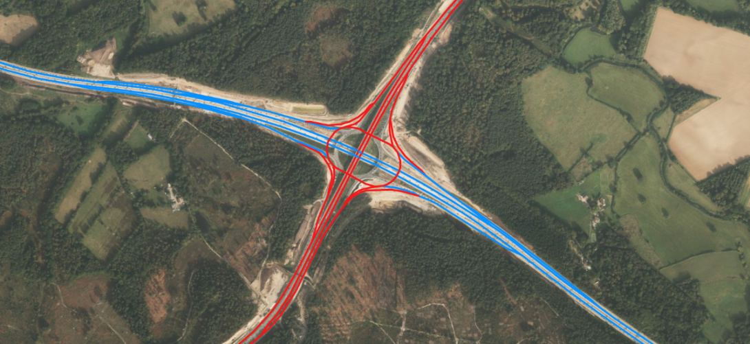
Ordnance Survey data has been used as part of a new National Highways (NH) digital model of more than 4,500 miles of motorways and A roads in England.
The new model of the Strategic Road Network (SRN) provides the most comprehensive, clear and accurate information about the country’s major roads and it is hoped it could save millions in infrastructure investments.
The model include information about the SRN in nearly 30 different layers, including attribution data about the names, location, lanes and widths of motorways and A roads, transport links and nodes, and height and weight vehicle restrictions.
The SRN covers more than 4,500 miles of motorways and major A roads, which carry a third of all traffic and two-thirds of all freight. It is estimated that delays on England’s roads, including the SRN, cost around £3 billion per year.
The new Network Model is built from OS MasterMap Highways Network data, enriched with additional NH datasets.
John Kimmance, chief customer officer at OS, said: “The efficiency of the Strategic Road Network plays a vital role in driving economic growth, maintaining a balanced and resilient transport system and supports environmental and sustainability goals by potentially helping to reduce congestion and emissions. Working with Ordnance Survey to use the most trusted and accurate data as a foundation in the new Network Model, National Highways has developed an innovative tool designed to enhance journey safety and efficiency for all users, while also supporting cost-effective planning across both public and commercial sectors.”
Davin Crowley-Sweet, director of digital technical competence at National Highways, said: “Ordnance Survey is the most authoritative provider of national location data, providing us the strongest foundation for this most comprehensive model of the Strategic Road Network to date. Our partnership is a major milestone for National Highways as we evolve into being a customer services provider and provide connected data services to external organisations that improve the customer journey. By making the Network Model data publicly available, we empower our partners such as wayfinders, local authorities, and researchers to enhance services, improve efficiency, and innovate.”