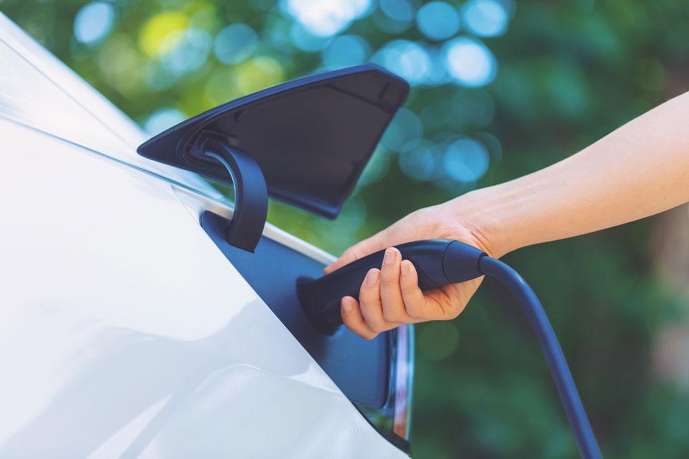
New information on driveways will help local authorities in the North of England plan infrastructure for public electric vehicle chargepoints.
The data, generated by Transport for the North (TfN), in partnership with Ordnance Survey (OS), identified which of the 6.4 million households in the region have driveways, and therefore the potential for access to chargers at home.
The new analysis can now help councils target specific areas which do not have access to charging facilities and better plan, monitor and forecast where there is public need.
It has already been established that there is a regional difference in EV charging infrastructure, which is a major barrier to ownership of electric vehicles. A recent report by the Public Accounts Committee highlighted that 43% of all chargepoints are hosted in the South East and London. TfN’s recent EV State of Play report revealed that the north has a higher proportion (47%) of households without driveways, compared to the national average (40%).
The new analysis has also highlighted some significant differences within regions in the TfN area. For example, in the North East, one road in Sunderland has over 500 homes but only 12% of them have driveways. A more extreme example is in the North West, where a road with more than 190 houses has only one with a driveway.
According to TfN, there is a high level of car dependency in the North, with around 8 million registered cars in the region and 61.1 billion miles driven annually by cars and taxis on the region’s roads. Additionally, there are over 970,000 vans, and around 12,000 heavy goods vehicles, whilst over 90% of freight lifted by tonnage is moved by road.
There are over 17,500 public chargepoint plugs available in the region, more than double the number two years ago. But TfN’s projected requirements show that at least a tenfold increase could be needed by the end of the decade, with 178,000 to 240,000 public chargepoint plugs required across the North of England.
Aggregated driveway data can be accessed via TfN’s online visualiser. Household-level data has been shared with requesting local authorities across the north, from Cumbria and Northumberland to Cheshire and Greater Manchester, and will be a major boost for public EV chargepoint planning. It will also potentially save thousands of pounds, by providing access to a free tool and allowing for effective and efficient infrastructure planning. OS and TfN have now undertaken to expand the pilot project nationally via all sub-national transport authorities across England.
Chief Customer Officer at OS John Kimmance said: “Ordnance Survey already plays a vital role in underpinning the transport sector with trusted geospatial data. This latest partnership with Transport for the North has provided vital insight which will help local authorities in the region plan their EV infrastructure more effectively. While this will benefit the public in ultimately gaining greater access to EV charge points in the future, it will also potentially save local authorities thousands of pounds.”
Simon McGlone, Principal Planning and Strategy Officer from Transport for the North, said:“Transport for the North’s EV Charging Infrastructure Framework supports the work of our local and national partners by providing evidence, analysis and strategic thought leadership to shape EV charging infrastructure. This partnership with Ordnance Survey has maximised trusted geospatial data to improve localised intelligence across our region, boosting public sector capability to support a fair and equitable EV transition for all, whilst delivering significant savings to public spend.”
Building on the driveways work, OS and TfN also looked at walking catchment areas to public car parks, which could be used as potential EV charging hubs. To achieve this, an open-source routing engine was paired with data from the OS Multi-modal Routing Network.
OS supported the project under the Public Sector Geospatial Agreement. This multi-million pound contract with government enables 6,000 public sector bodies and emergency services access to OS geospatial data for free to help with the delivery of critical and routine services.