Ordnance Survey (OS) has recently released the latest expansion of the national map of Great Britain (GB), the OS National Geographic Database (OS NGD)
Three and a half years since it was originally launched, the database has now expanded into an unprecedented collection of datasets which deliver the most detailed and data-rich digital map in history. The database brings together a high volume of authoritative geographic data for GB into one location, which therefore offers improved access and richer attribution.
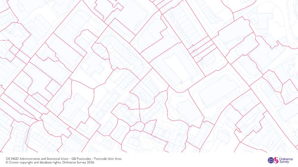
OS has now released 16 data collections and 70 major data enhancements into the OS NGD to make it the richest map of Britain ever created. The latest data release includes full GB coverage of bus and cycle lanes, which supports local authorities and central government in promoting Active Travel and public safety. This expansion follows the partial coverage released in September last year. The update also adds improved postcode unit areas and points data, a new retail areas dataset which provides a geographical view of retail activity across GB, and OS’s structures data has been enhanced with third party-bridge information which helps identify the location of emergency incidents.
225 years of data
This year marks the 225th anniversary of the creation of OS’s first map, commissioned with the single purpose of protecting national security. Fast forward and OS NGD data is now being used to help solve a myriad of diverse national challenges and helping to improve decision-making across the public and commercial sectors.
Location data is an enabler for public services, helping them to boost economic growth and improve social and environmental factors, whilst also delivering greater value and efficiencies. Access to authoritative and trusted data under the Public Sector Geospatial Agreement allows 6000 public sector organisations across GB to provide routine but crucial services to the public. These include: emergency services and public safety; transport and infrastructure management; healthcare access and planning; sustainability and environmental initiatives; and climate adaptation and resilience.
The emergency services are additionally supported with bespoke offerings such as the OS ESG and the Vernacular Names Tool.
Tina Kennedy, chief customer officer at OS, said: “Providing detailed, trusted and accurate data has been part of Ordnance Survey’s DNA since its first map was created 225 years ago. OS has since evolved into a data powerhouse which supports many different sectors with critical and actionable insights – from insurance and property to local authorities under pressure to meet biodiversity net gain targets. And despite the unprecedented scale of datasets already delivered with the latest data release, OS continues to deliver further enhancements and products to meet the growing needs of our customers and deliver greater value, because high-quality data is an asset for everyone.
Retiring old formats
Alongside the latest release of data into the OS NGD, OS is currently progressing an end-of-life roadmap where some of its older products will be retired. One example is the OS MasterMap Topography Layer, OS’s most popular product, which was launched in 2001. Its successor will be OS BaseMap Pro, which is currently in its prototype phase and will be ready for full launch next year. The new product will continue to provide the most detailed and trusted basemap for GB but in a more advanced format, suitable for modern applications, and will provide a gateway to unlock and allow usage alongside OS NGD analytical data. Customers and partners are being actively supported and encouraged to adopt replacements from OS’s latest generation of OS NGD-derived products.
OS’s new data has been released into the OS NGD as part of the PSGA. The PSGA is a contract between Government Digital Service, managed on behalf of the UK Government, and OS for the provision of geospatial data and services to the emergency services and wider public sector organisations. To access all of OS’s location data visit the OS Data Hub – which provides access to the data through both APIs and downloads.